Update- 2/21/2025:
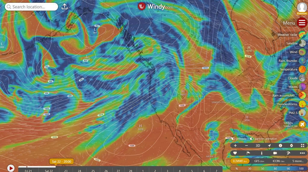
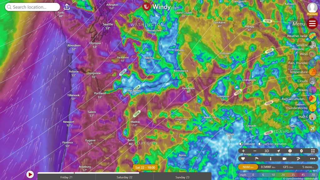
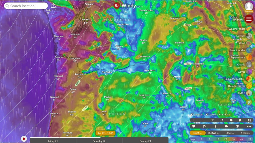
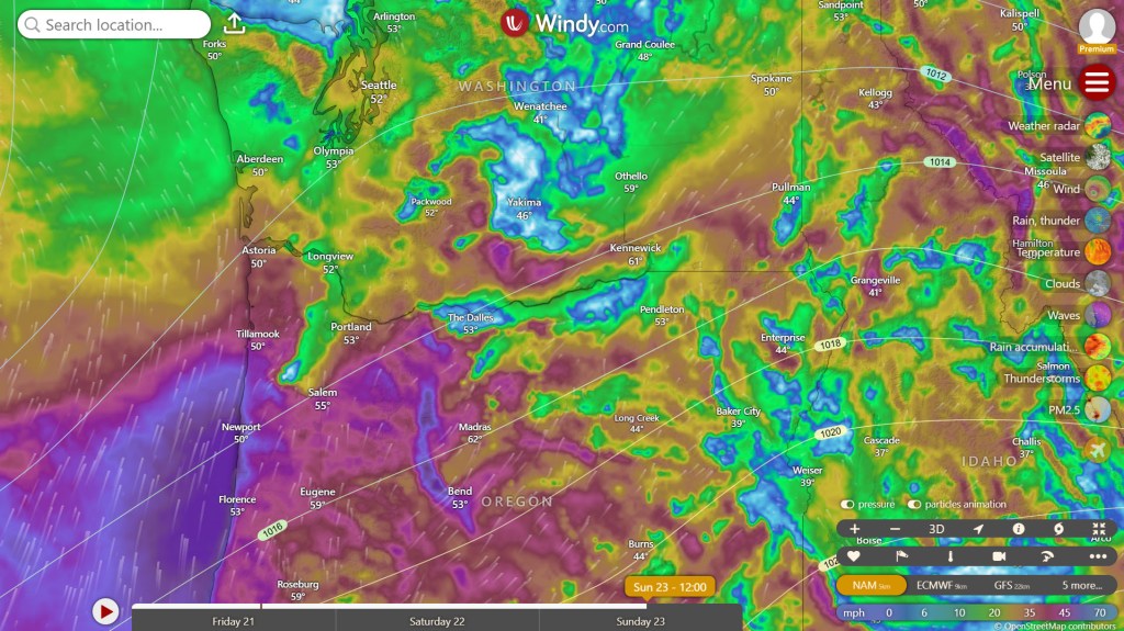
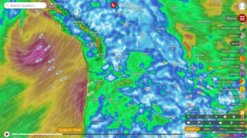
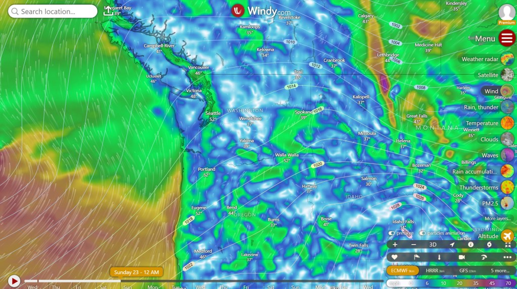
The Pacific Northwest is on track to see warm temperatures and rain this weekend due to an atmospheric river with subtropical moisture, commonly known as a “Pineapple Express.” There are only minor adjustments to the original forecast issued on February 19, 2025. The most significant change is the timing of precipitation. Initially, models predicted the bulk of the precipitation to arrive early Saturday morning. However, the latest model guidance now indicates that the bulk of the precipitation will arrive Saturday night, with heavy rain persisting through Sunday night. Nevertheless, showers are still expected during the day on Saturday. As a result, total precipitation amounts between Saturday at 12:00 A.M. PST through Monday at 12:00 A.M. PST have been updated in the table below for major cities around the region.
| Seattle, WA | 1.22″ |
| Tacoma, WA | 2.04″ |
| Portland, OR | 2.09″ |
| Eugene, OR | 2.51″ |

Due to the amount of precipitation and high snow levels, a “Hydrologic outlook” has been issued by both the National Weather Service in Portland, OR and Seattle, WA (respected links below).
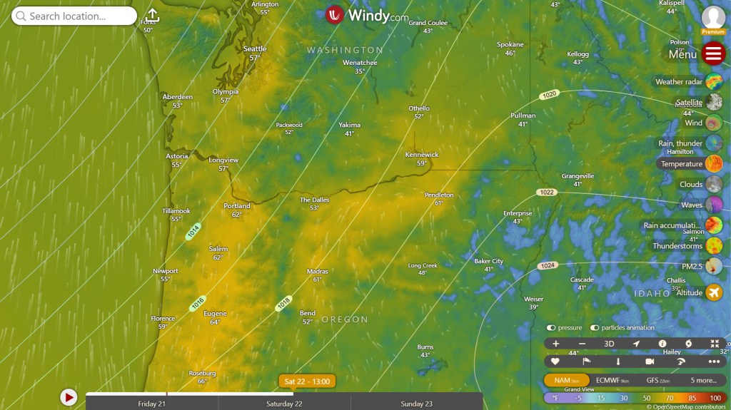
The latest model guidance indicates that we are on track to experience warm overnight lows and highs both Saturday and Sunday across the region, with overnight lows in the upper 40s to low 50s and daytime highs in the 50s to low 60s Saturday and in the 50s on Sunday.


Finally, southerly winds will sweep through the region beginning Saturday afternoon and persist through Sunday night. The Willamette Valley is expected to encounter widespread sustained wind speeds in the teens on Saturday, with gusts around 30-40 mph. Some localized higher gusts may occur. Moving into Sunday, Puget Sound will see a slight decrease in southerlies, while further south, particularly in Oregon, another day of sustained southerly winds in the teens is anticipated, with gusts between 30-40 mph, especially in the afternoon and evening.
Along the coast, widespread sustained winds on Saturday from the central Washington coast to the southern Oregon coast are expected to be in the 20s. Certain areas, notably along the central and southern Oregon coast, may encounter sustained winds in the 30s. The northern Washington coast will see sustained winds in the teens. Gusts on Saturday between the central Washington coast and southern Oregon coast will range from 45-55 mph, with some localized gusts potentially reaching the low 60s.
Looking ahead to Sunday, the northern and central Washington coast will see southerlies diminish slightly, with afternoon sustained winds in the teens and gusts between 20-30 mph. The southern Washington coast and Oregon coast are expected to encounter sustained afternoon winds in the 20s to 30s, with most areas along the central and southern Oregon coast experiencing winds in the 30s. Afternoon gusts from the southern Washington coast to the southern Oregon coast will range from 45-55 mph, with some localized spots potentially seeing gusts near 60 mph.


Previous Forecast- February 19, 2025

The Pacific Northwest is anticipated to experience a rainy and warm weekend on February 22-23, 2025, due to a moderate to strong Atmospheric River with subtropical moisture, commonly known as a “Pineapple Express,” moving into the region. While there remains some uncertainty about the northern reach of the system, the latest model guidance indicates that significant rainfall is expected across the region.

From Saturday, February 22, 2025, at 12:00 AM PST through Monday, February 24, 2025, at 12:00 AM PST, the following major cities may receive the following rainfall totals:
| Seattle, WA | 1.25″ |
| Tacoma, WA | 1.45″ |
| Portland, OR | 2.50″ |
| Eugene, OR | 1.50″ |
In addition to substantial rainfall, warm daytime highs and mild overnight low temperatures are forecasted for both days.


Furthermore, southerly winds are expected to dominate the region. Starting Saturday afternoon, southerly winds will increase across the Willamette Valley and along the coast. Most areas in the valley will experience sustained afternoon winds in the teens, while the coast will see sustained winds ranging from the 20s to low 30s. Winds will decrease overnight Saturday and early Sunday morning but will strengthen again on Sunday morning, peaking late morning to midday (wind advisories are likely for coastal areas). Winds will diminish once more in the afternoon and evening.


Leave a comment